News / Terrestrial Laser Scanning
02 March 2020
News Description :
Terrestrial Laser Scanning For Creating Building Information Models
Terrestrial Laser Scanners are used for detailed 3-dimensional data acquisition of objects. This is a very fast and cheap way to produce 3D Models. Terrestrial Laser Scanners have applications in many different areas such as deformation measurements, quality control or cultural heritage monitoring.
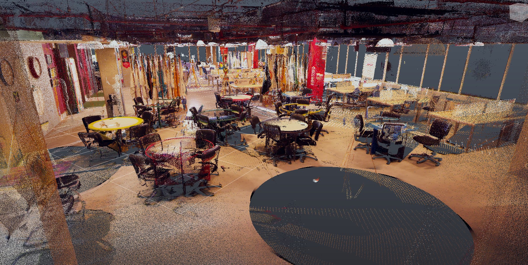
The survey yields a digital data set, which essentially a dense ‘point cloud’, (also called Dense Digital Surface Model (DDSM) where each point is represented by a coordinate in 3D space (X, Y, and Z coordinates and reflectivity value are known. Point clouds from 3D laser scanning data give a full and exact representation of the building geometry. Users of 3D laser scanner were very impressed with the speed at which they captured information, the ability to conceptualize survey projects in 3D, its ability to scan objects and areas at a distance, and the density of its point collection.
Building information modeling is a process for creating and managing information on a construction project across the project lifecycle. The lifecycle of building includes also a stage of reconstruction and technology of terrestrial laser scanning is an effective method to create 3D building information models of the real state. Laser Scanning is a non-contact technology that captures the shape of physical objects and gives exact representation of the building geometry. Current scanning technology has the ability to send out thousands of beams per second, resulting in a ‘point cloud’ of data, in the implementation of work there are several types of implementation methods and basic applications of work.
• On the basis of Application Building Information Modeling (BIM)
o Architecture
o Civil Engineering
• On the basis of Type
o Phase-shift Scanner
o Pulse-based Scanner
o Mobile Scanner